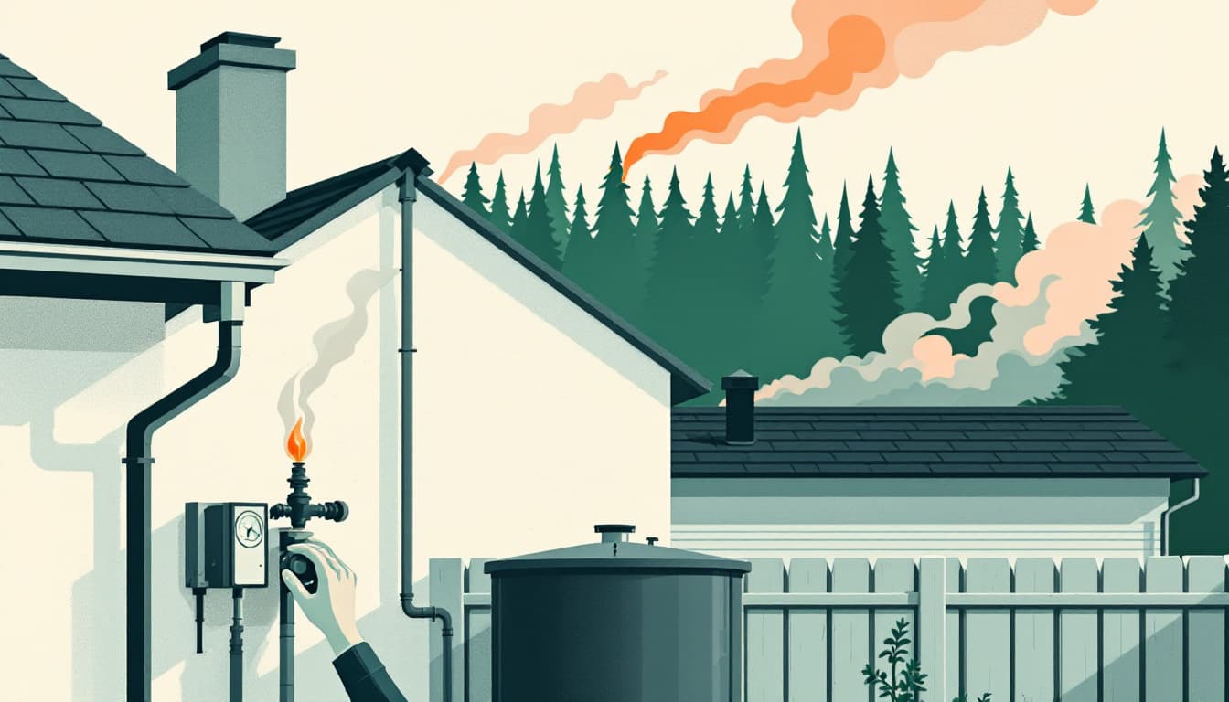
A wildfire south of Rifle forced mandatory evacuations in Garfield County this week, according to Denver7. The details at publication time were still unfolding — acreage, containment percentage, cause all TBD. That uncertainty is itself the point. Western Slope fires in June, when snowpack is gone and monsoon moisture hasn't arrived, move fast and leave little negotiation time between "watch" and "leave now."
What's actually different about a June fire in this corridor
Garfield County sits in a stretch of Colorado where canyon topography and persistent wind create the conditions fire behavior analysts call "extreme rate of spread." The terrain between Rifle and the surrounding mesas funnels air in ways that let a fire double in size in an afternoon. This is not abstract: Marshall Fire in Boulder County in December 2021 consumed more than 1,000 structures in under 24 hours, in winter, with no leaves on the trees. Summer canyon fires in drier terrain move faster.
The state's 2025 wildfire season started earlier than the 20-year average, and recent NIFC data has consistently shown Colorado among the top states for acres burned in any above-average fire year. None of that means catastrophe is imminent for any specific address. It means the margin between "ordered to leave" and "road is cut off" is shorter than most households have planned for.
The other thing most news coverage skips: Garfield County uses a tiered alert system — pre-evacuation warning, evacuation warning, evacuation order — and those tiers can compress from hours to minutes depending on wind shifts. If you don't have alerts set up, you may not know which tier you're in until a neighbor knocks on your door.
What we'd actually do
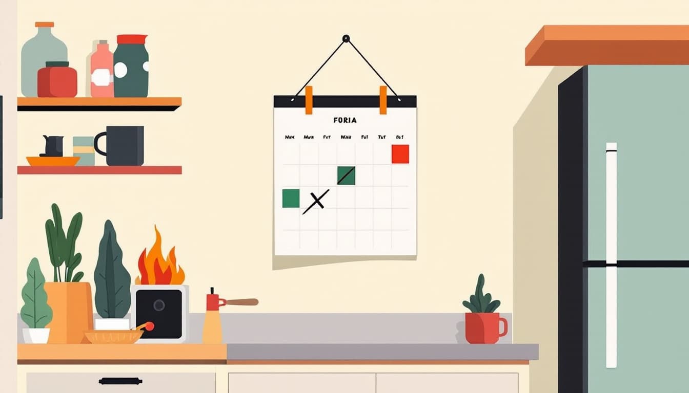
Sign up for Garfield County's emergency alerts today — and check your own county's system while you're at it. Colorado has 64 counties and no single statewide alert app. Garfield County uses the Genasys (formerly Zonehaven) platform. Jefferson, Boulder, and Larimer counties use different systems. Go to your county OEM website and confirm you're registered. A text to your cell carrier isn't enough; many rural areas rely on opt-in address-based notifications. Spend ten minutes on this.
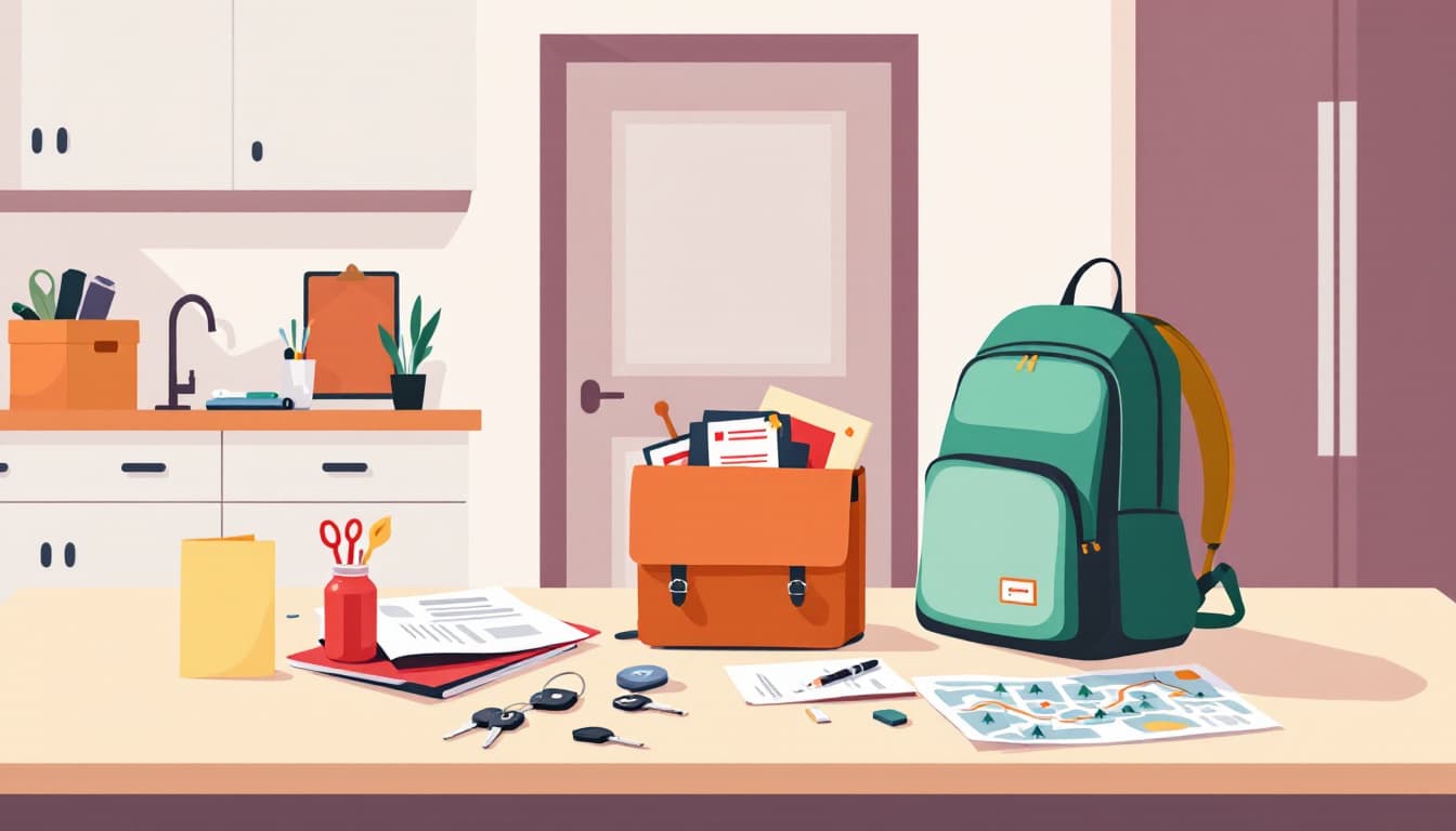
Build a 15-minute load list and tape it to your go-bag. Not a comprehensive survival kit — a specific, ordered list of what you grab and in what sequence if you have 15 minutes. The research on evacuation behavior consistently shows that people freeze or backtrack because they're trying to make decisions under stress. Medications first. Documents second (or a thumb drive with scans). A three-day bag third. Pets and carriers fourth. Make the list when you're calm, so you don't have to think when you're not.
Know your two exit routes before you need one. In canyon communities like those around Rifle, Glenwood Springs, and Glenwood Canyon, I-70 is the obvious artery — and it's also the first road that closes. Colorado DOT publishes alternative route maps, and county sheriffs often post evacuation routing when orders go out. Pull up a paper map or a downloaded offline map of your area. Know which direction takes you away from probable fire behavior given typical afternoon wind patterns.
Move your car the night before if there's a watch in your zone. This sounds overcautious. It isn't. Fires that reach residential areas often do so overnight or at dawn when wind calms but embers have been traveling for hours. If your car is parked facing out, unlocked, with a quarter tank or more, you've bought yourself two minutes of critical time. Two minutes matters when the road closes in five.
Take photos of your home's contents today and store them in cloud backup. Insurance claims after wildfire are significantly smoother when you have documentation. Walk through each room with your phone. Upload to Google Photos, iCloud, or a thumb drive kept off-site. This costs nothing and takes 20 minutes.
The bigger picture
The Garfield County evacuation will resolve — fires get contained, orders lift, residents return or don't. What doesn't resolve is the underlying pattern: Colorado's wildland-urban interface is large, its fire seasons are lengthening, and the gap between a watch and an order is getting shorter, not longer. The goal isn't to live in fear of the next evacuation. It's to reduce the number of decisions you have to make under pressure to near zero. Families who've thought this through once, briefly, on a calm afternoon, consistently report feeling less anxious — not more — because they know what they'd do.
Durability looks like that: not a bunker, not a year of freeze-dried food, just a clear head and a car pointed the right direction.