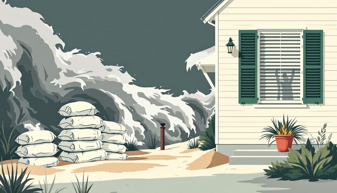
A report this week from KTLA warns that Hurricane Marie is set to affect Southern California, delivering dangerous surf and the possibility of coastal flooding along the region's exposed coastlines. The storm, tracking northward through the Eastern Pacific, is expected to generate significant wave action along beaches stretching from San Diego County north through Los Angeles and Ventura counties toward Santa Barbara.
Hurricane Marie is not forecast to make direct landfall in California as a tropical system, but its outer bands and associated swell are sufficient to produce hazardous conditions at the shore. Large surf generated by Eastern Pacific hurricanes can propagate hundreds of miles ahead of the storm's center, reaching California coastlines while the system remains well offshore near Baja California. The California Department of Fish and Wildlife manages sensitive coastal habitat that can be impacted by storm surge events in precisely this scenario, and the California Department of Parks and Recreation has authority to close state beach units when conditions become dangerous.
The Los Angeles County Office of Emergency Management and the San Diego County Office of Emergency Services are among the local agencies that coordinate with the National Weather Service's Los Angeles and San Diego forecast offices during Pacific hurricane threats. The NWS can issue Coastal Flood Advisories, Watches, or Warnings for specific zones along the California coast when surge or wave runup is expected to impact low-lying areas, piers, harbors, and coastal roads such as Pacific Coast Highway in Malibu and sections of Highway 101 near Ventura.
Southern California's coastal infrastructure is particularly vulnerable to combined swell and elevated tidal cycles. King tides, which occur independently of storm events, have already demonstrated the capacity to overtop seawalls and flood parking lots along the Santa Monica Bay and in Orange County's low-lying beach communities. A powerful offshore hurricane introduces an additional swell component on top of ambient tide levels, compressing the margin of safety for coastal drainage systems that were not designed to handle simultaneous high surf and heavy runoff.
From a preparedness standpoint, California's coastal airshed and the state's broader emergency architecture create conditions that make Pacific hurricane-driven events distinctly different from Atlantic storm threats. California's Office of Emergency Services — Cal OES — coordinates with the Governor's Office of Emergency Services to manage resource deployment, and the state's mutual aid system can mobilize across county lines when coastal flooding threatens multiple jurisdictions simultaneously. Southern California's water conveyance infrastructure, including portions of the Metropolitan Water District's network that run through coastal-adjacent terrain, can also be disrupted by storm surge that infiltrates low-lying pump stations or delivery facilities near the shore. Residents in coastal flood zones designated by FEMA's National Flood Insurance Program maps for Los Angeles, Orange, and Ventura counties should be aware that these zones reflect historical risk, and an event like Marie can produce conditions that temporarily exceed the parameters those maps were built on. For those tracking storm-ready gear appropriate to California's specific coastal threat environment, Middle Class Prepper has covered water and flood preparedness equipment in past reviews.