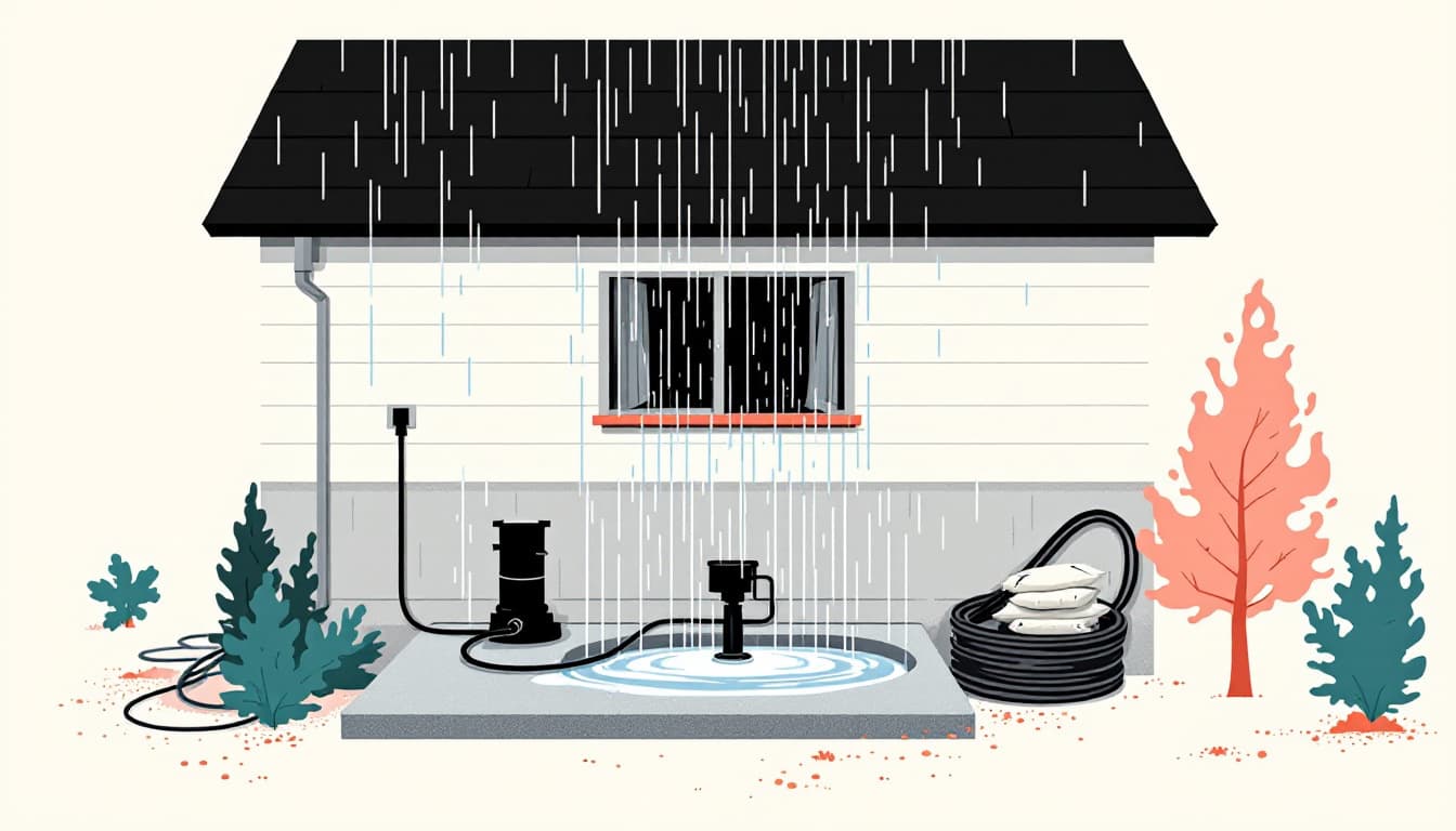
A report this week from MyNorthwest.com details an incoming storm system bearing down on western Washington as the region's summer season winds down, a meteorological shift that marks one of the more consequential weather transitions in the Pacific Northwest calendar. The system is expected to bring rainfall and unsettled conditions to the western side of the Cascades, including the greater Puget Sound lowlands and the Olympic Peninsula — areas that have experienced an extended dry stretch through the summer months.
The late-August timing is notable because it coincides with the tail end of wildfire season, during which eastern Washington's dry airsheds and the drier western valleys can remain vulnerable to smoke intrusion even as precipitation returns to the coast. The Washington State Department of Ecology monitors air quality across the state's distinct airsheds, and the arrival of early fall fronts often produces a volatile period when marine layer moisture and inland smoke can interact unpredictably before the rains fully establish themselves.
For residents who track grid reliability, the first significant storms after a dry season represent a known stress point for Puget Sound Energy and Seattle City Light infrastructure. Dry soil conditions can cause tree root systems to lose their grip, increasing the likelihood of wind-related outages during the early fall storms when soils have not yet re-saturated. The Washington State Department of Natural Resources has previously noted that post-drought root instability contributes to a higher-than-average tree-fall rate during the first major fronts of the season.
Western Washington's municipal water systems, many of which draw from the Cascades' snowmelt-fed reservoirs such as the Cedar River Watershed serving Seattle Public Utilities, also enter this transition period with reservoir levels that reflect the summer's draw-down. Early fall precipitation begins the recharge cycle for those systems, though a single storm event contributes relatively little volume compared to the cumulative November-through-March wet season that drives the region's water supply. The Washington Department of Ecology's Water Resources Program tracks reservoir and stream gauge data that provides an early read on how quickly that recharge is progressing following the first fronts. Readers who monitor grid and water resilience may find the outage tracking resources at Middle Class Prepper's grid preparedness coverage useful context for this seasonal shift.