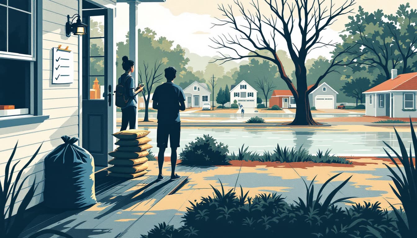
A report released this summer from Climate Central identifies climate change as a primary driver behind the escalating frequency and intensity of extreme heat, catastrophic flooding, and Atlantic tropical weather systems striking the continental United States — conditions that fall with particular weight on North Carolina, a state that sits at the intersection of multiple climate hazards.
North Carolina's geography makes it unusually vulnerable to the scenarios Climate Central describes. The state's Outer Banks and coastal plain face direct exposure to Atlantic hurricanes and tropical storms, while the Piedmont and western mountain regions — including the drainage basins feeding the Catawba, Neuse, and Cape Fear rivers — are prone to catastrophic inland flooding when tropical moisture stalls over the landscape. The devastating flooding that Helene delivered to western North Carolina in September 2024, killing more than 100 people in the state and causing billions in damage, stands as a recent benchmark for what Climate Central's researchers are quantifying nationally.
On the heat side, North Carolina's urban corridors — Charlotte, Raleigh, Greensboro, and Durham — have recorded increasing numbers of days above 95°F over the past decade, a trend consistent with the signal-attribution methodology Climate Central uses to distinguish climate-driven warming from natural variability. The state's rural communities, many of which rely on older housing stock without central air conditioning, bear a disproportionate share of heat-related health risk during these events.
From a preparedness-infrastructure standpoint, North Carolina faces compounding stress across all three hazard categories Climate Central highlights. Duke Energy's Carolinas grid, which serves the majority of the state, has been under increasing strain during summer heat events as demand peaks collide with generation and transmission constraints. The North Carolina Department of Environmental Quality monitors air quality across the state's airshed, and extended heat domes — like those now occurring with greater regularity — push ground-level ozone into unhealthy ranges across the Piedmont for days at a time. Municipal water systems in flood-prone counties have repeatedly dealt with treatment plant inundation and distribution line contamination following major storm events, a pattern the Climate Central data suggests will intensify rather than recede. Readers tracking how households and local communities are managing these overlapping infrastructure vulnerabilities may find the preparedness framing at Middle Class Prepper useful context alongside the scientific reporting.
Climate Central's broader U.S. analysis does not single out North Carolina by name throughout its findings, but the state's documented history with each category of hazard the organization examines — tropical storms, riverine and flash flooding, and prolonged heat — places it firmly within the highest-risk tier. The North Carolina Emergency Management division has acknowledged the increasing operational tempo required to manage what were once considered rare, high-consequence events but are now becoming recurring annual challenges for the state.