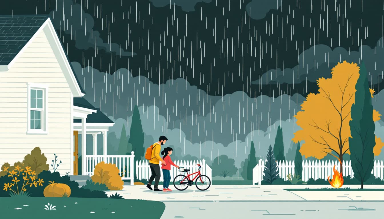
A Tropical Storm Watch issued for coastal Louisiana means something specific to Texas households along the I-10 corridor: your window to prepare just narrowed.
A report this week from WAFB described multi-day flooding rain bearing down on Louisiana — the kind of sustained, slow-moving moisture event that the Gulf of Mexico feeds for days at a stretch. The Sabine River doesn't care about state lines. When Beaumont, Orange, and Port Arthur are in the path of what Louisiana is already absorbing, the flooding threat doesn't stop at the border. Southeast Texas residents learned this the hard way during Harvey in 2017, and again during Imelda in 2019, when Beaumont recorded more than 40 inches of rain in under 48 hours with almost no warning window.
This watch is for Louisiana. But it is a live drill for Texas.
What's actually changing
The first weeks of June sit at the front edge of peak Atlantic hurricane season, which runs statistically heaviest from mid-August through mid-October. An early-season tropical system isn't a harbinger of a catastrophic year — it's normal variance. What matters for Texas households is the trajectory pattern: Gulf storms and tropical moisture plumes that make landfall near the Louisiana-Texas border almost always push significant rainfall into the Golden Triangle and can extend inland toward Houston, San Antonio, and even the Hill Country, where flash flooding on rocky terrain kills people who aren't in flood zones.
The Texas Division of Emergency Management (TDEM) and the National Weather Service offices in Houston/Galveston and Lake Charles both update outlooks in real time during these events. Neither can give you 72 hours of certainty when a tropical system stalls. That uncertainty is exactly why household-level readiness has to be built before the watches are posted.
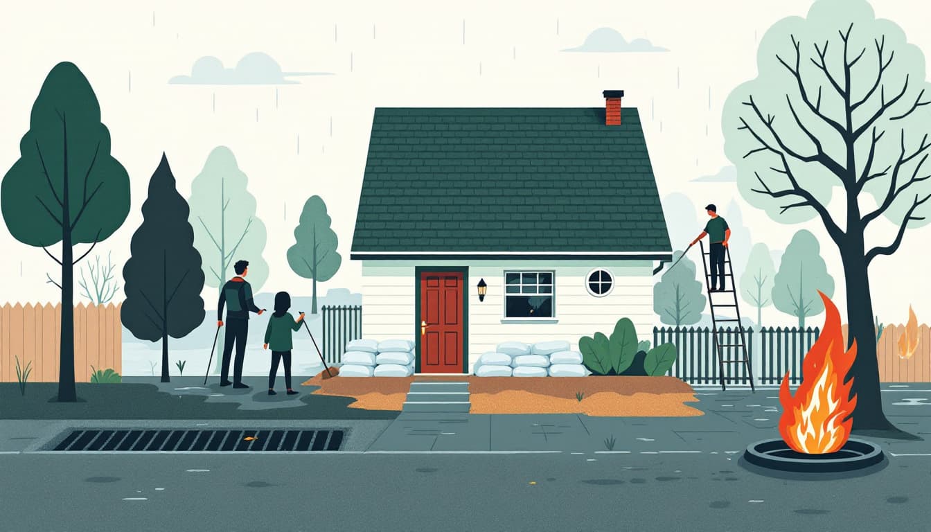
What we'd actually do
Check your specific flood zone status this week, not when it's raining. Go to the FEMA Flood Map Service Center (msc.fema.gov) and enter your address. Zone AE or Zone X? The answer changes what you should have ready. Zone AE households in Harris, Jefferson, or Orange counties should already treat flooding as a near-certain multi-year event, not a worst case.
If you rent or own in a flood zone and do not have flood insurance, request a quote before the system arrives. Standard homeowners and renters policies do not cover flood damage — this is one of the most expensive misunderstandings in Texas. National Flood Insurance Program policies have a 30-day waiting period before coverage activates, so a storm watch is already too late to buy new coverage in time for this event. But it's not too late for the next one.
Build a 72-hour go-bag that assumes your car won't start in standing water. Texas flood deaths disproportionately happen in vehicles. Pack one bag per adult that you can carry on foot: medication for seven days, copies of insurance cards and a deed or lease, a portable phone charger, $200 in small bills, and a paper map of your county. Digital everything fails when cell towers are overwhelmed.
Identify your household's two evacuation routes now and drive them. Most Texas counties have posted evacuation route maps through their county OEM websites. Know your Zone A/B/C designation. Know which roads flood first — in Harris County that's often underpasses and feeder roads along bayous; in Jefferson County it's low-lying Highway 90 segments. Drive both routes before any storm arrives. Bridges and underpasses that look fine on Google Maps may be underwater in six hours.
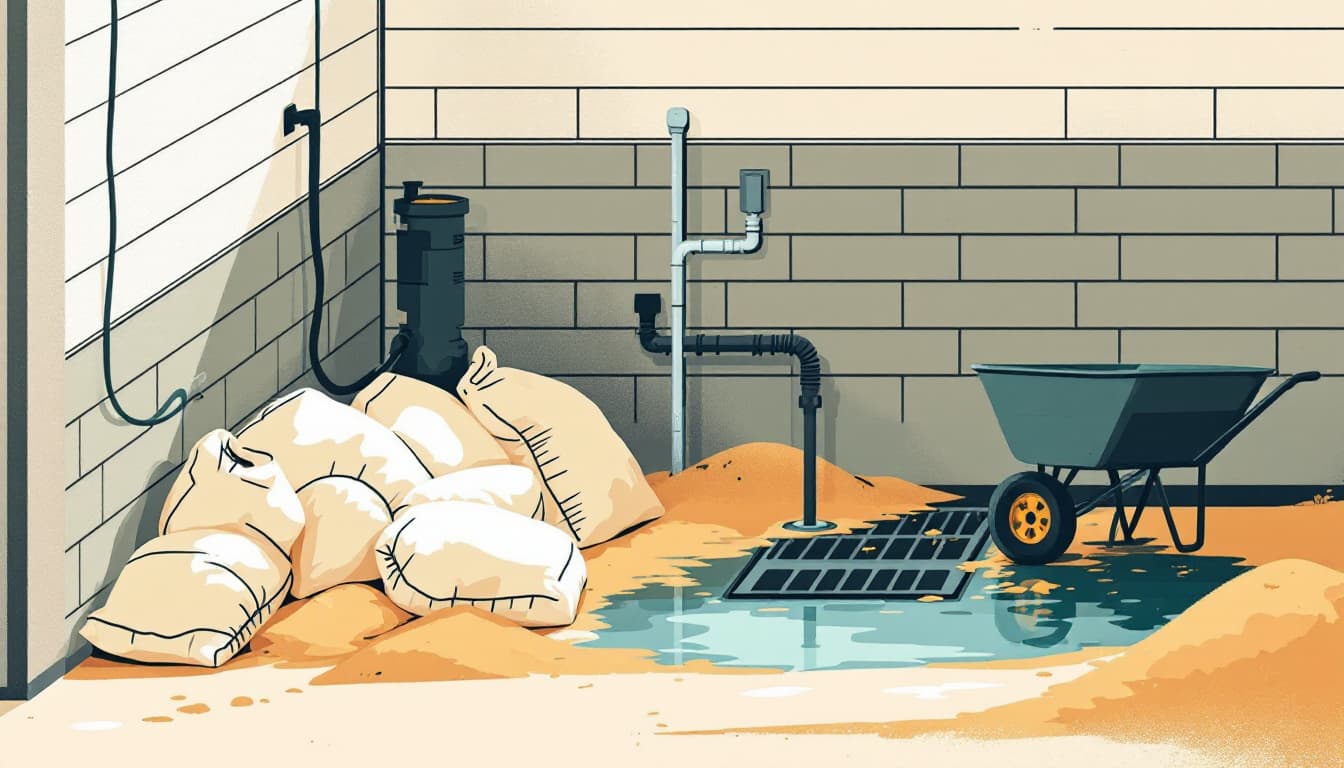
Stage supplies near your exit, not deep in storage. A 72-hour water supply (one gallon per person per day), a manual can opener, a battery or hand-crank weather radio, and waterproof bags for documents belong somewhere you can grab in ten minutes. The garage beats the back closet.
The bigger picture
Texas is a state where people die in floods more often than in any other weather event. That's not catastrophizing — it's what recent historical data from the Texas Water Development Board and National Weather Service fatality records consistently show. The goal of watching a Louisiana tropical storm watch isn't to spiral. It's to use the signal while the weather is still calm.
The households that come through these events well are almost never the ones with the most gear. They're the ones who made two or three specific decisions before the rain started: know your zone, know your route, know your exit window. That's durable. That's achievable this week.